

In the Primitive Methodist magazine for February 1856, SG Butterwick writes about the opening of Rumby Hill Primitive Methodist chapel in the Wolsingham circuit.
“A neat little chapel was opened here for Divine worship, on Sunday, November 18th, 1855. Sermons were preached in the morning and evening by the Rev. J. Matfin, and in the afternoon by Mr. J. Coward, both of Durham. The attendance was good, and the collections liberal. Much of the Divine presence was enjoyed in all the services, and two persons professed to obtain salvation in the prayer-meeting at night. On the previous evening a tea-meeting was held, at which interesting addresses were delivered by the above brethren and several others.
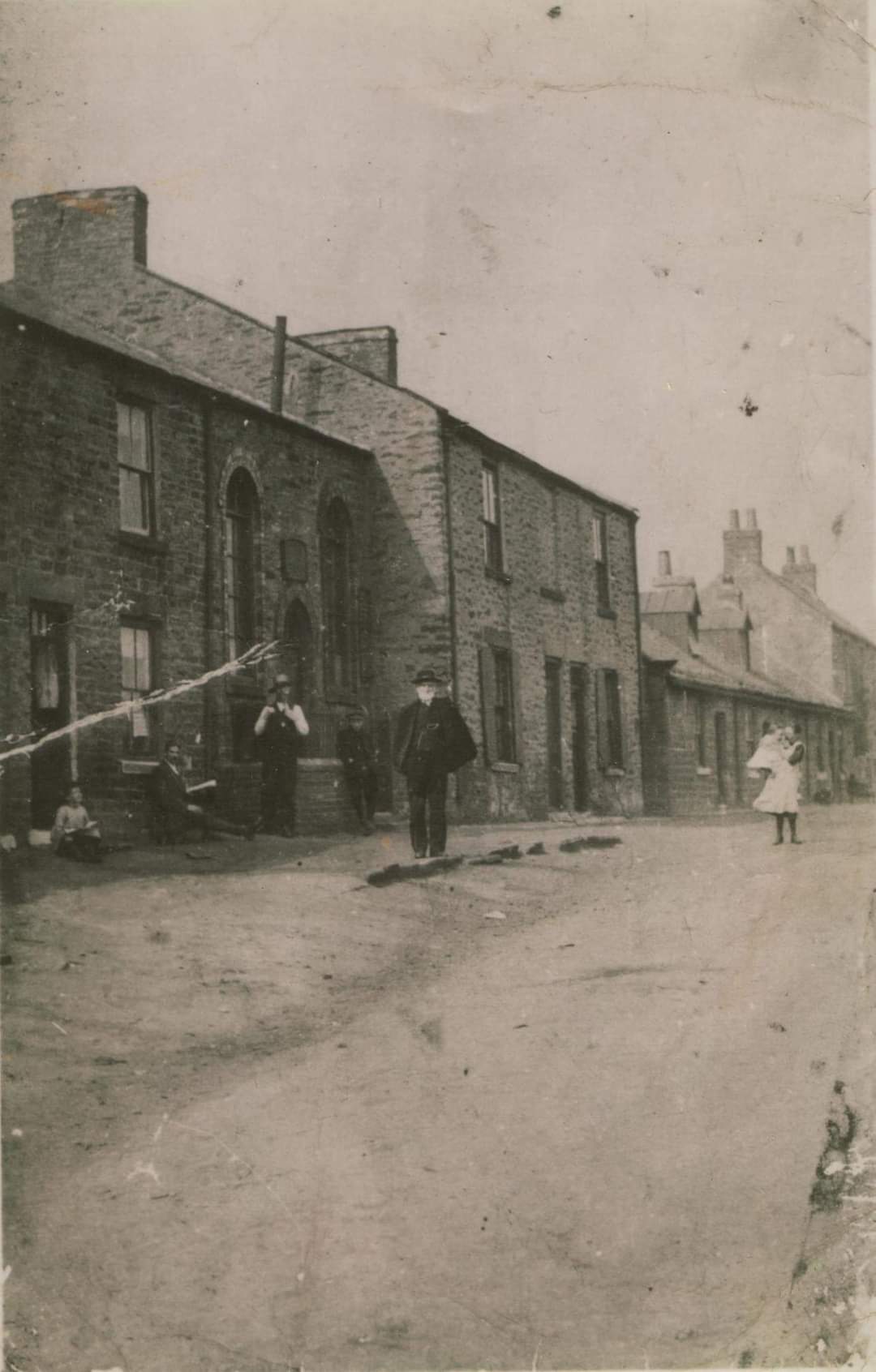
The chapel will seat about 120 people. There is a dwelling-house underneath it, the rent of which will cover the interest of the debt, and leave an annual surplus of £1 10s. in favour of the chapel. We have not many members here; but they have exerted themselves nobly, having raised the proportion of money required by rule. Our prayer is, that this chapel may prove the spiritual birthplace of many of the inhabitants of the place, for whose eternal welfare it has been erected. “
The chapel is shown on the 1890 1:2,500 Ordnance Survey map as on the western side of Rumby Hill Lane just to the north of the hamlet which itself is just north of Watergate Lane. It has disappeared by the 1897 map, although a Methodist New Connexion chapel has appeared a little further south in the hamlet. There is no sign of it – or many of the houses that were in the hamlet – on Google Street View in August 2016.
Reference
Primitive Methodist magazine for February 1856 p.116


Comments about this page
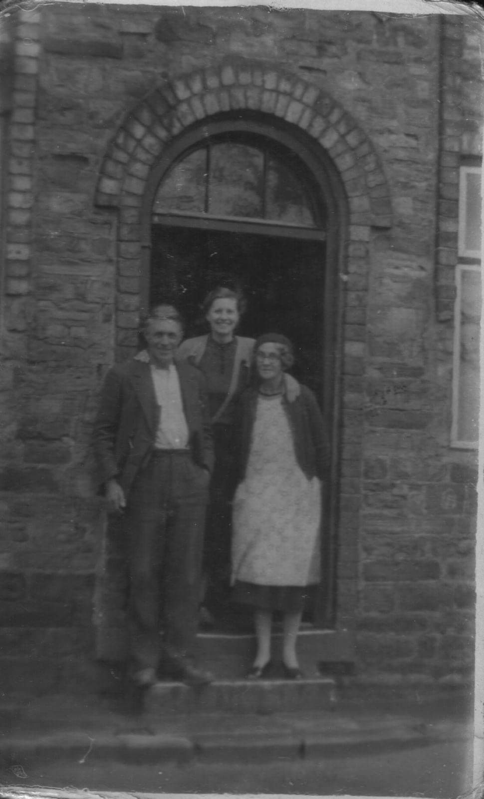
I ‘ve added pictures of the former chapel and the chapel house provided by Aaron Cowan. Aaron’s Great Grandparents lived in one of the back to back houses a little further up.
Again, I have a photograph of this chapel if it is of any use to this article?
A fairly minor point: this chapel which, as you say, came and went in only a few years is shown on the 1861 six-inch map, as of course it should have been.
To my eye it stood a bit further north than your Streetview implies.
Comparison, between maps and satellites, of field boundaries, woods and such lead me to believe that it was only yards, if not merely feet, away from where the horse is in this May 2016 picture
https://www.google.com/maps/@54.7039504,-1.7382509,3a,75y,289.81h,91.65t/data=!3m7!1e1!3m5!1s72iYqgsxuLTNLsuaZ8_jzw!2e0!5s20160501T000000!7i13312!8i6656
The Grid Reference of the horse’s location is NZ 1695 3437
Add a comment about this page