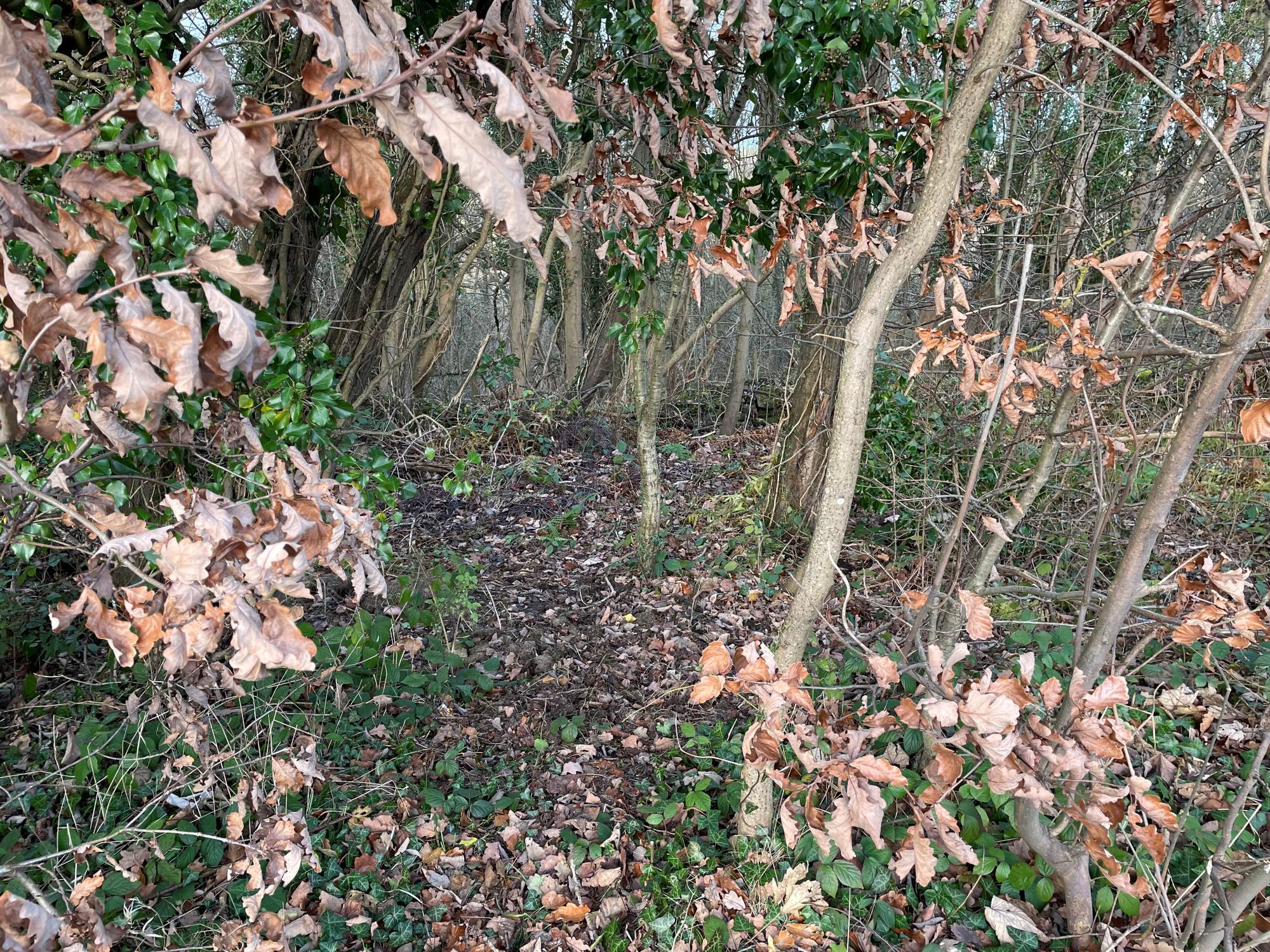
The 1895 Ordnance Survey map shows a Primitive Methodist chapel at Hamsterley, on the A694 opposite Oakwell Court. John Walley reports that the site is now overgrown woodland on a steep slope – see John’s pictures with nothing on the street map.
On the 1912 and 1939 maps it is labelled as “Church Hall”.
Grid reference: NZ12133 56567


Comments about this page
A mining village in County Durham with a station, coke works and sidings. Often confused with the other Durham villages of the same name. Some narratives place it in Blackhall Mill, another small mining community to the north which had a Wesleyan Chapel, Hamsterley also had a Wesleyan Chapel. The Durham Circuit records show we have the right name and location for this PM Chapel
I’ve added pictures of the location as it is in 2023 December. They are provided by John Walley.
Add a comment about this page