
Goodrick Street chapel was built in1835 at a cost of £640. The chapel was depicted on John Wood’s Plan of Melton Mowbray which he surveyed in 1839. It stood on the east side of Bradley Row (later renamed Goodrick Street) roughly opposite the unnamed lane leading to Rutland Street. In 1863 the chapel seated 350.
The ordnance map of 1886 shows that a street, Melbourne Street had been laid out on the south side of the chapel. The map depicts a rectangular structure, divided into two sections suggesting that the front section, which was roughly square was the chapel itself and that the back building might have been a school. The chapel probably closed when the Sherrard Street Chapel (qv) was opened in 1888.
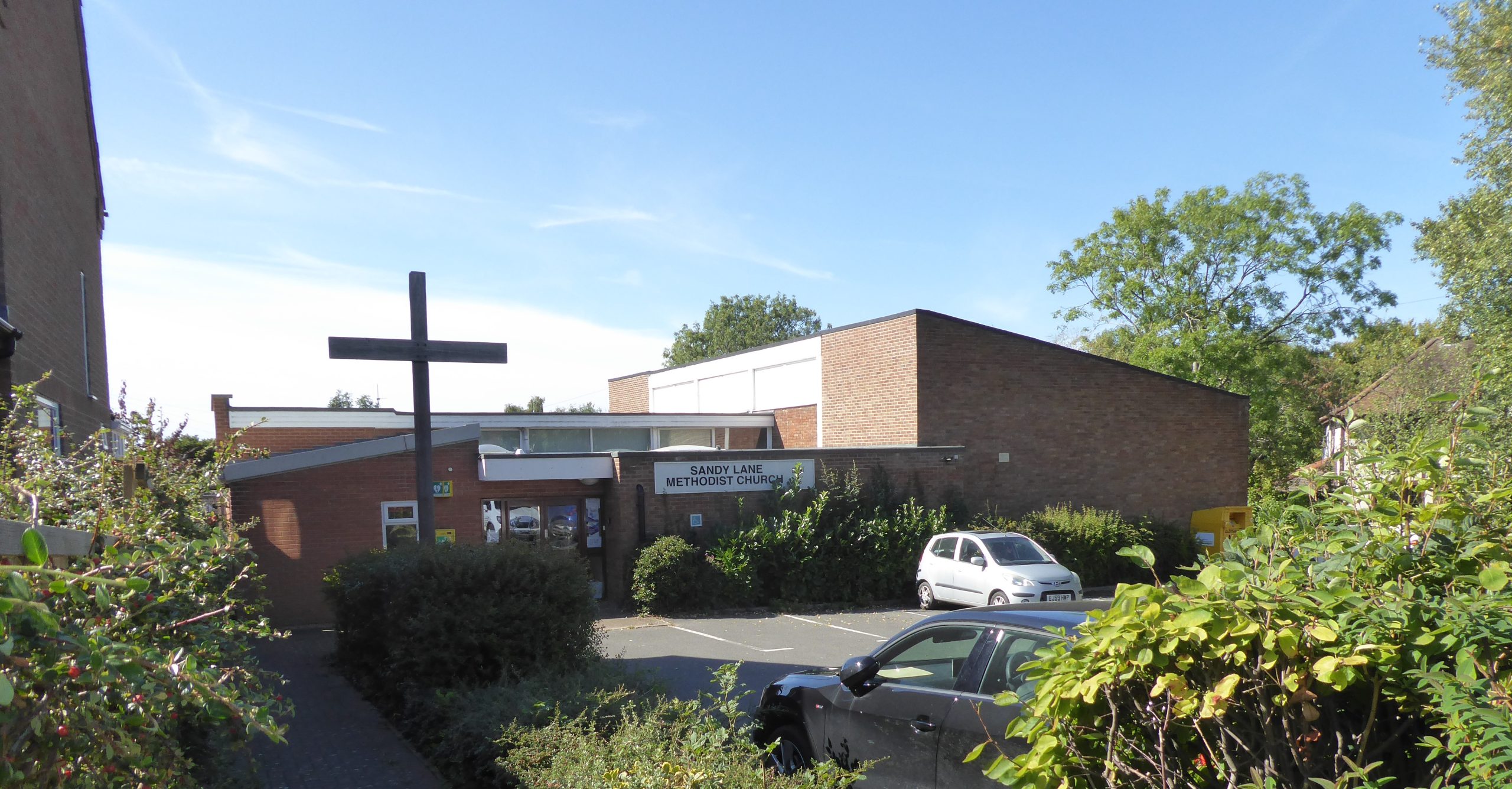
The building continued to be shown on maps, little changed but with no indication of user, down to 1930. In more recent times a large area east of Goodrick Street has been cleared and redeveloped for residential purposes. The image shows the building now standing on the site of the chapel.
Sources
The National Archives,1851 ecclesiastical census HO129/418/2/3
Whites Directory for Leicestershire, 1863, p 362
John Wood Plan of Melton Mowbray, 1839
Ordnance Survey Leicestershire Sheet XX 5, 1886, 1904 and 1930
Site visit 17.9.2022


No Comments
Add a comment about this page