

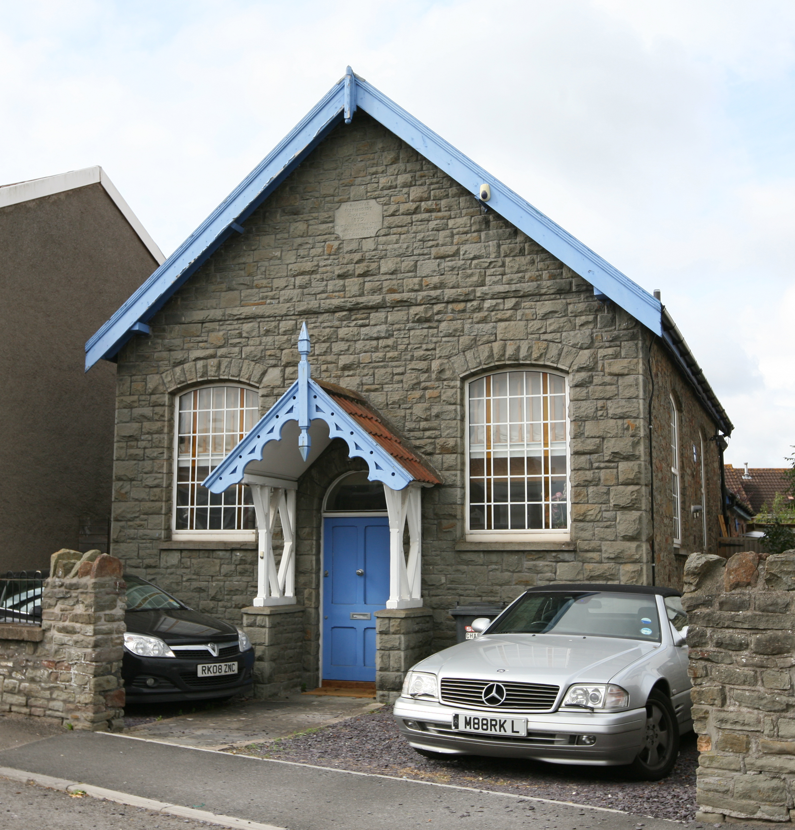
On today’s Boundary between Oldland and North Common in Bristol but classed as Gloucestershire at NGR ST 6754 7262 on modern Poplar Road visible on Google Street View is a Chapel that looks unused with an illegible dedication stone. The early OS maps show this as a PM Chapel. Whether this is the earlier Chapel mentioned as the predecessor to the West Street PM Chapel at Oldland or a new site I am unable to ascertain.
Sharing stories, photos, memories and research


Comments about this page
I’ve added pictures of the chapel and its foundation stone from Sue Westcott’s family history page on another part of My Prims
Add a comment about this page